

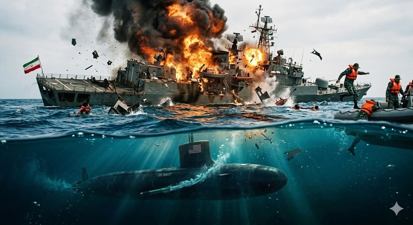
The sinking of the Iranian frigate ‘IRIS Dena’ by a US Navy submarine on March 4, 2026, has sent shockwaves through the Indian Ocean region and beyond. Occurring in international waters roughly 40 nautical miles off Sri Lanka’s southern coast near Galle, the incident marked the first time since World War II that an American submarine has sunk an enemy warship with a torpedo.
US Defense Secretary Pete Hegseth described the strike, carried out with a single Mark 48 torpedo, as delivering a “quiet death” to a vessel that believed itself secure far from the main theater of conflict.
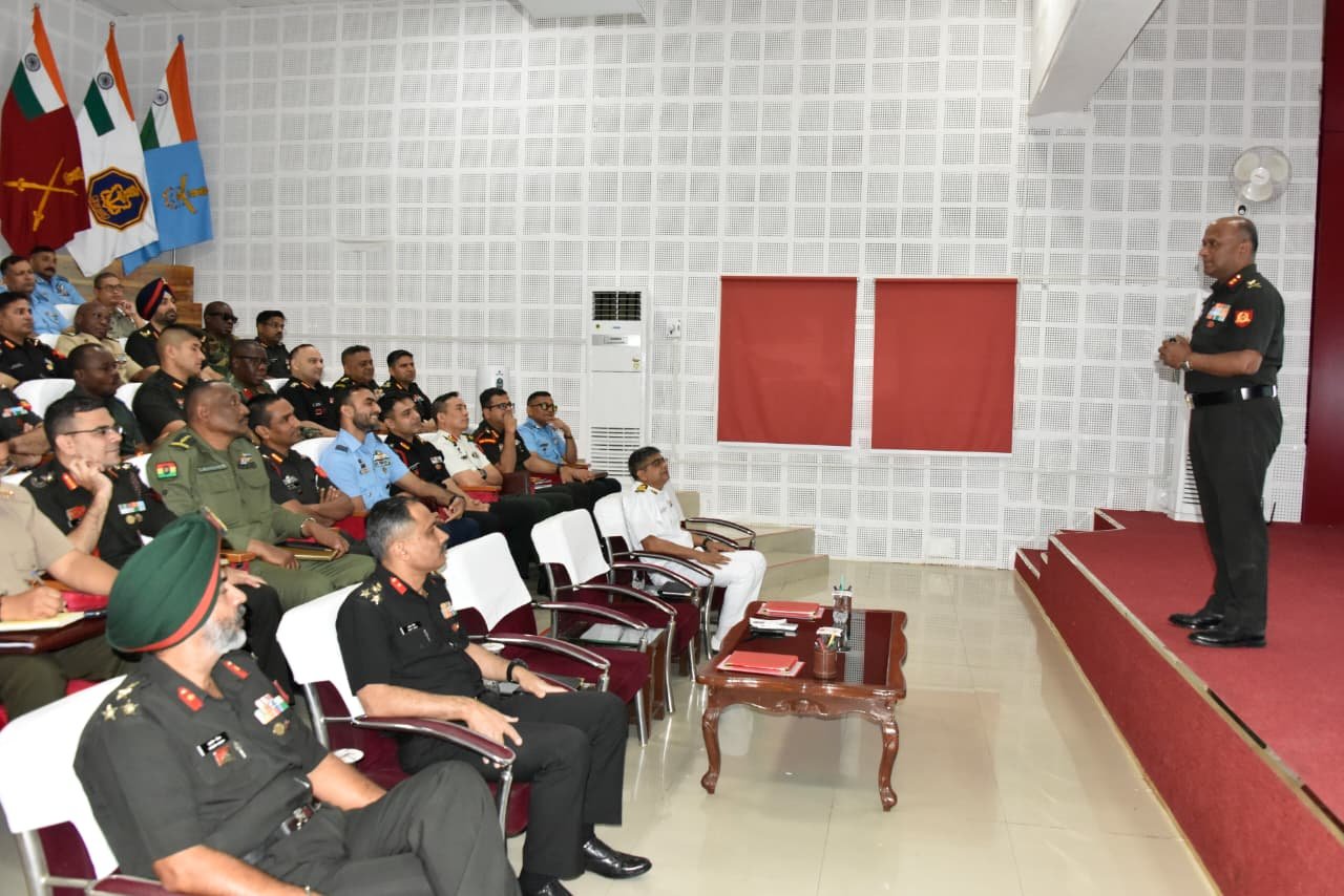
The ‘IRIS Dena’, a Moudge class frigate and one of Iran’s more modern surface combatants, had recently participated in India’s MILAN 2026 Multinational Naval Exercise in the Bay of Bengal. Held from mid-February to late February, the event brought together dozens of navies under India’s SAGAR (Security and Growth for All in the Region) framework, emphasizing maritime cooperation and interoperability. The Iranian ship departed Visakhapatnam afterward, heading westward toward home waters.
Tragically, it never reached it’s home. A distress signal prompted Sri Lanka’s navy to launch a swift rescue operation, resulting in 32 survivors being pulled from the water, 87 bodies recovered, and dozens more reported missing or presumed lost.In the wake of the attack, Iran’s leadership condemned the act as an ‘atrocity at sea,’ vowing severe consequences and accusing the United States of escalating the ongoing conflict into distant maritime domains. Tehran has framed the sinking as an unprovoked assault on a vessel operating lawfully in open ocean, far from any declared combat zone.
The US, meanwhile, justified the preemptive strike as necessary to degrade Iran’s naval capabilities amid broader operations targeting its military infrastructure and ability to threaten vital sea lanes, including those in the Persian Gulf.
India’s Position Amid Domestic
Debate Within India, the event has sparked intense political discussion, though not always grounded in the geography of maritime law. Critics, including opposition figures, have questioned whether New Delhi’s hosting of the Iranian contingent at MILAN indirectly facilitated the tragedy or exposed a perceived tilt toward Washington and its allies. Some voices have suggested that India failed to protect a “guest” navy or share adequate warnings, even raising concerns about intelligence-sharing during the exercise.These arguments, however, overlook fundamental principles of international maritime law under the United Nations Convention on the Law of the Sea (UNCLOS). India’s territorial waters extend only 12 nautical miles from its baseline, with an Exclusive Economic Zone (EEZ) reaching 200 nautical miles where resource rights apply but full sovereignty does not. Beyond that lies the high seas, international waters open to all nations under freedom of navigation.The strike on ‘IRIS Dena’ took place well outside any Indian-claimed zone, hundreds of kilometers from India’s coastline and closer to Sri Lankan waters. Responsibility for incidents in international waters rests primarily with the flag state (Iran, in this case) and the acting party (the United States). India had no legal obligation or practical capacity to escort or defend a foreign warship across vast open ocean en route to potential conflict zones.
New Delhi responded promptly and humanely and the Indian maritime patrol aircraft and vessels joined search-and-rescue efforts alongside Sri Lankan forces, demonstrating solidarity in humanitarian terms despite the geopolitical sensitivities. Official statements have expressed condolences for the lost lives while avoiding direct criticism of the US action, consistent with India’s longstanding policy of strategic autonomy and non-alignment in great-power rivalries.
Clearing Misconceptions About the “Indian Ocean”
A common point of confusion in public discourse is the notion that the name “Indian Ocean” implies Indian sovereignty over its expanse. In reality, the ocean’s designation dates back centuries and reflects historical European cartography rather than modern territorial claims. Spanning approximately 70 million square kilometers and bordering 38 littoral states, it remains a global commons. References to an “incident in the Indian Ocean” denote location within this vast body of water, not occurrence in Indian jurisdiction. Blaming India for failing to prevent or respond to events in distant international waters misapplies concepts of proximity and responsibility. No coastal state polices the high seas unilaterally; such actions fall under flag-state jurisdiction, freedom-of-navigation principles, and in cases of armed conflict, rules of engagement governed by international humanitarian law.
Strategic Implications for the Region
The sinking underscores how rapidly the US- Iran confrontation, rooted in Middle Eastern flashpoints, can spill into the Indo-Pacific. For India, it highlights the challenges of maintaining balanced ties: deepening Quad partnerships and defense cooperation with the US while preserving economic and strategic links with Iran, including the Chabahar port project that bypasses Pakistan for access to Afghanistan and Central Asia. As oil prices fluctuate and shipping routes face renewed risks, the episode serves as a reminder that maritime security in the Indian Ocean is increasingly intertwined with global power dynamics. India, as a rising net security provider, must continue navigating these tensions with clarity, upholding international law, prioritizing humanitarian responses, and resisting domestic narratives that conflate geography with accountability.
In the end, the loss of ‘IRIS Dena’ and its crew is a grim milestone in an expanding conflict. It calls for sober reflection on deterrence, escalation control, and the fragile rules that govern the world’s oceans, rather than attempts to assign blame where legal and factual boundaries clearly lie.

contact: drrajeshjauhri@gmail.com
Dr Rajesh Jauhri is a Journalist with an experience of over 25 years in Indian and foreign media, a Social Scientist, an Ac-complished Author, a Political & Strategic Analyst, a Marksman (Rifle & Pistol), an Orator, a Thinker and an Educationist. He holds a Ph.D. degree on “Impact of colonial heritage on Indian police”. He runs an NGO dedicated to the social and eco-nomic uplift of tribal communities in MP and two decades back, he established a school in a village of Indore district, providing education and moral values to children belonging to underprivileged and minority families. Has received multiple awards in various fields.